

Established in 2024 in Konya by Kasım Erdal, NordGIS Engineering Map & Construction is a multidisciplinary engineering company offering integrated solutions in the fields of engineering, mapping, and construction, supported by advanced technological equipment, an experienced technical team, and an innovative vision. NordGIS Engineering plays an active role in the planning, design, and field implementation of highway, infrastructure, and superstructure projects; managing all project phases from fieldwork to construction with a holistic approach.

At NordGIS, we offer comprehensive surveying and project services covering all stages of engineering
01
At NordGIS, we provide high-precision and detailed mapping services using photogrammetry—one o
02
As NordGIS Engineering, we provide comprehensive engineering services in the planning, design, and f
03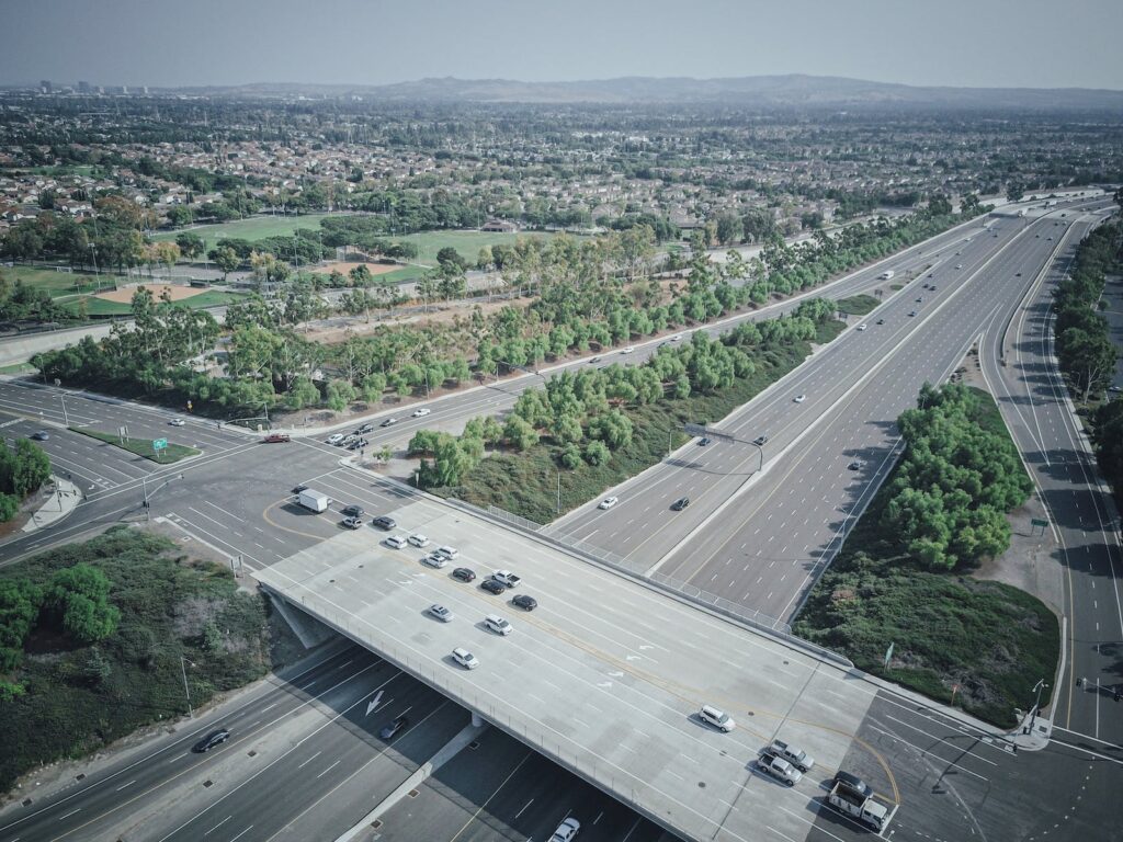
At NordGIS, we manage expropriation processes for public and private sector projects swiftly, accura
04
At NordGIS, we transform spatial data into meaningful information, empowering organizations and inst
05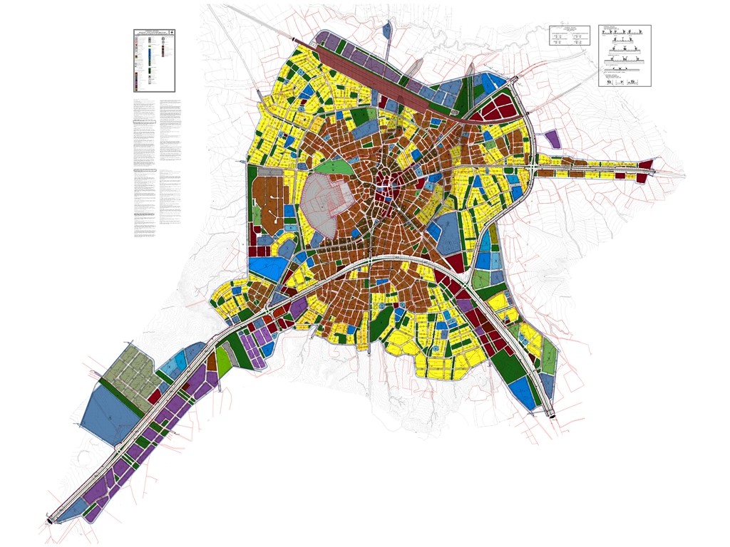
At NordGIS Engineering, we provide end-to-end engineering solutions that support the orderly develop
06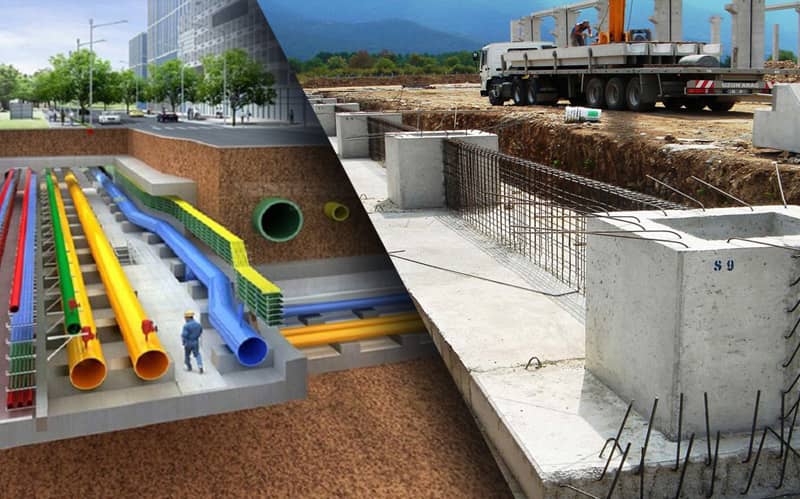
Infrastructure systems are among the most critical engineering components required for cities to rem
07
Cadastral works are not only boundary determination processes; they are a fundamental step for secur
08


 English
 Turkish
 Italian
 العربية
 German